Remote sensing is crucial for large-scale analysis of the Earth’s surface, primarily through satellite or aircraft-supported methods. In inaccessible areas like the Arctic, remote sensing methods are particularly useful. Satellite data often have too low resolution for detailed studies, while aircraft-supported data, though higher in resolution, are very costly.

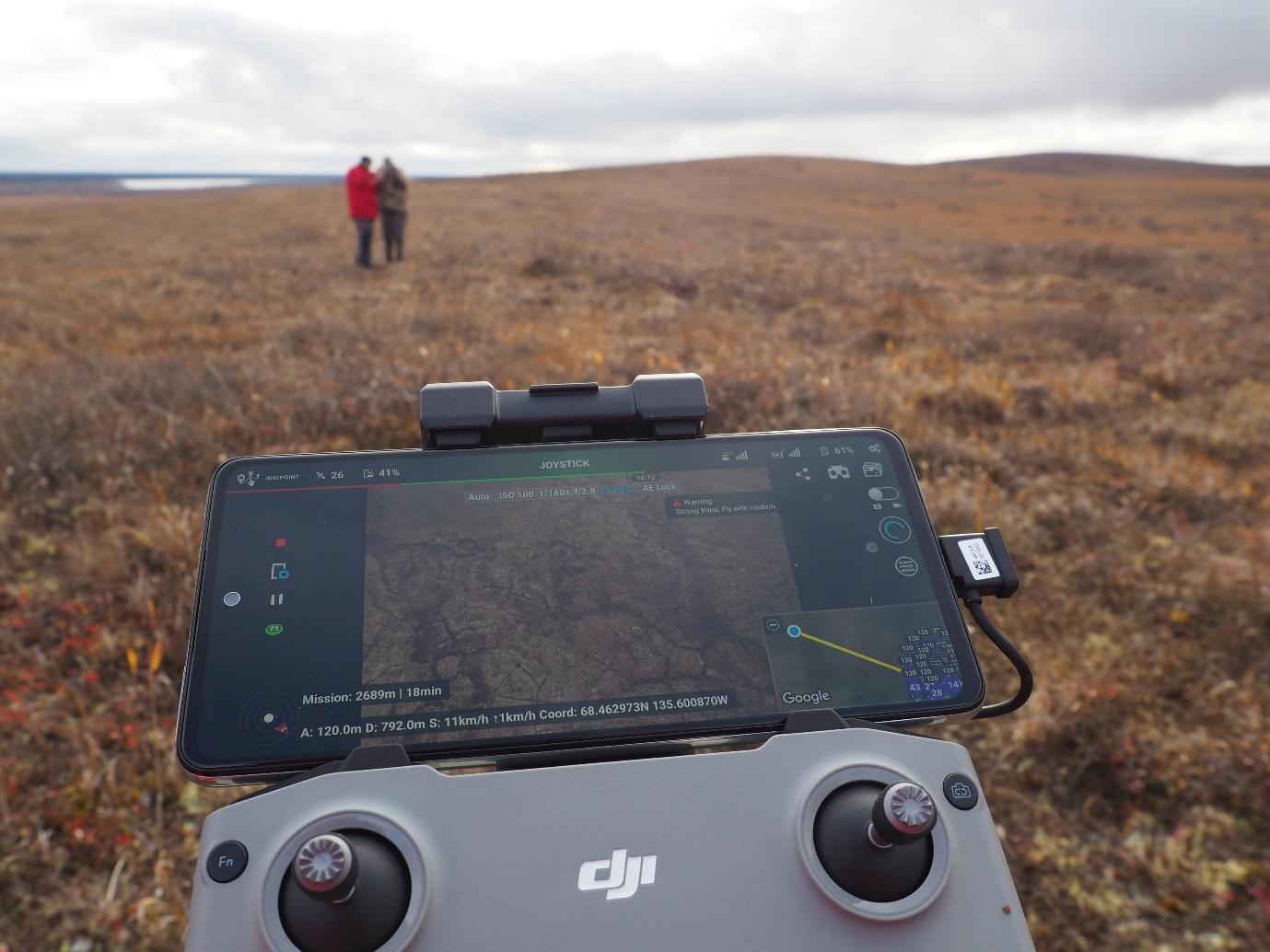
Unmanned Aerial Vehicles (UAVs), commonly known as drones, are effective for exploring large, difficult-to-access areas. Their use, especially of cost-effective models like the DJI Mini 2, facilitates data collection in the Arctic. Equipped with high-resolution cameras and advanced technology, these drones capture detailed images and data for digital 3D surface models and aerial photography. They are easy to operate, minimally regulated, and safe due to their low weight. Canadian students were quickly trained to become drone pilots. Together with indigenous knowledge of local residents, these data are essential for understanding and monitoring permafrost areas in this project. We demonstrate that drones, despite challenges like extreme weather or technical limitations in the Arctic, significantly contribute to the study of permafrost change. In the “UndercoverEisAgenten” project, innovative solutions such as special flight patterns were developed to optimize data accuracy and reduce flight time. These patterns, such as “spirals” and “loops,” improve the accuracy of data collected with consumer drones like the DJI Mini 2 and can reduce common errors in creating digital surface models. This enhances the data quality and demonstrates the potential of affordable drones for precise scientific research in challenging environments. Additionally, students from Aklavik actively contribute to understanding climate change and are important participants in scientific research.
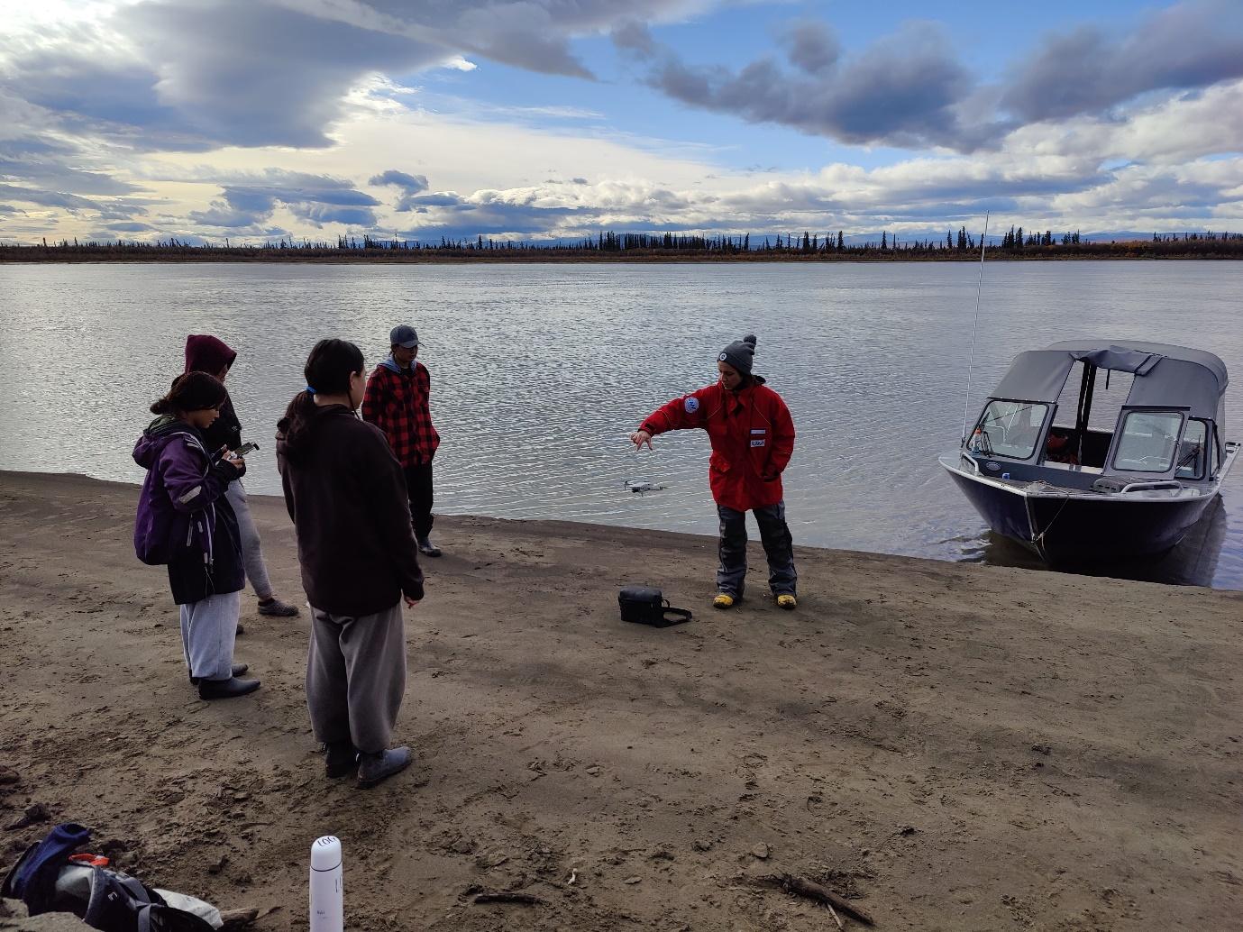
During our first visit to Aklavik in September 2022, over 30,000 individual images were captured by the students, covering an area of over 10 km². This included permafrost landscapes as well as settlement areas and riverbanks with erosion structures, captured in very high resolution (< 5 cm).